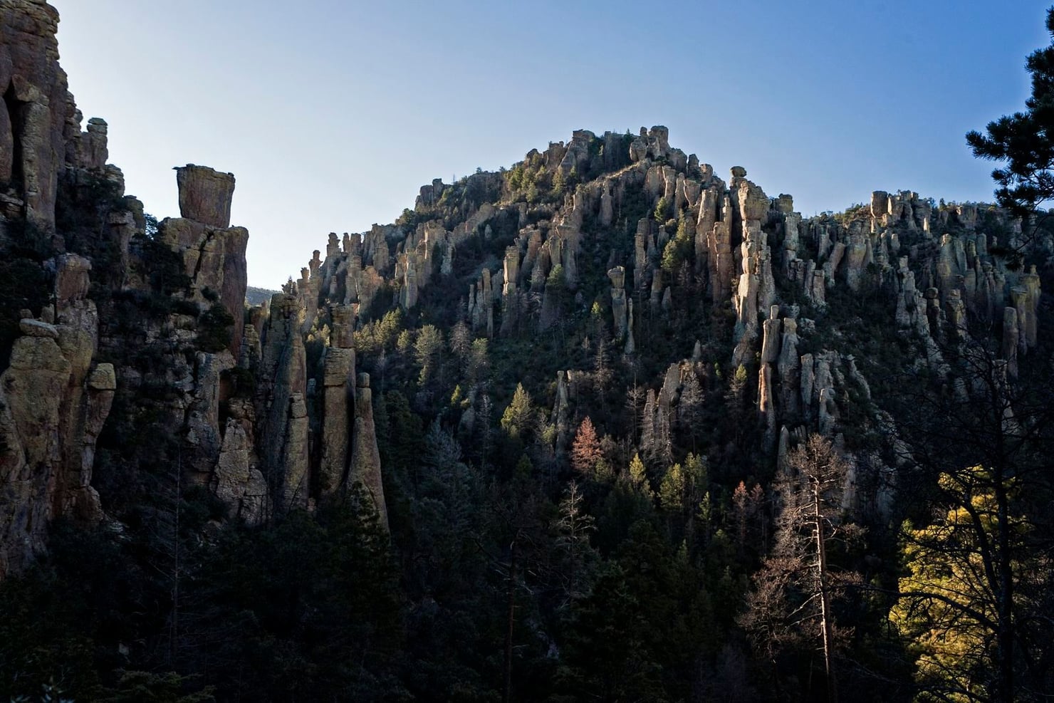
Stone spires, balancing boulders and narrow passages between rocks: this is the landscape that earned Chiricahua the nickname ‘Wonderland of Rocks’. Protected as a national monument since 1924, the area in south-eastern Arizona has become the United States’ 64th national park. Its boundaries and management arrangements remain unchanged.
The rock formations began with an eruption around 27 million years ago. Volcanic ash and debris covered the region, hardening into a thick layer of rhyolitic tuff. Over time, fractures and erosion shaped the spires now seen along its trails. Desert habitats give way to grasslands and forests nearby.
People have lived in the region for at least 12,000 years. Communities used its plants and animals through gathering and hunting; evidence of farming also appears later in the record.
In later periods, the Chiricahua Apache lived here, across a territory extending through what is now south-eastern Arizona, south-western New Mexico and northern Mexico. Seasonal movements connected the plains and mountains: they generally spent winters at lower, warmer elevations and summers in the cooler highlands.
During the 19th century, the expansion of US settlements was accompanied by conflict with the US government. In 1886, the government deported the Chiricahua Apache to Florida, where they were held as prisoners of war.
- National Park Service — Comunicato sul nuovo parco nazionale
- National Park Service — Frequently Asked Questions
- Smithsonian Magazine — Arizona’s Otherworldly “Wonderland of Rocks” Is Now America’s Newest National Park
- National Park Service — Geologic Formations
- National Park Service — Apache Before 1861
- National Park Service — Post Apache Wars