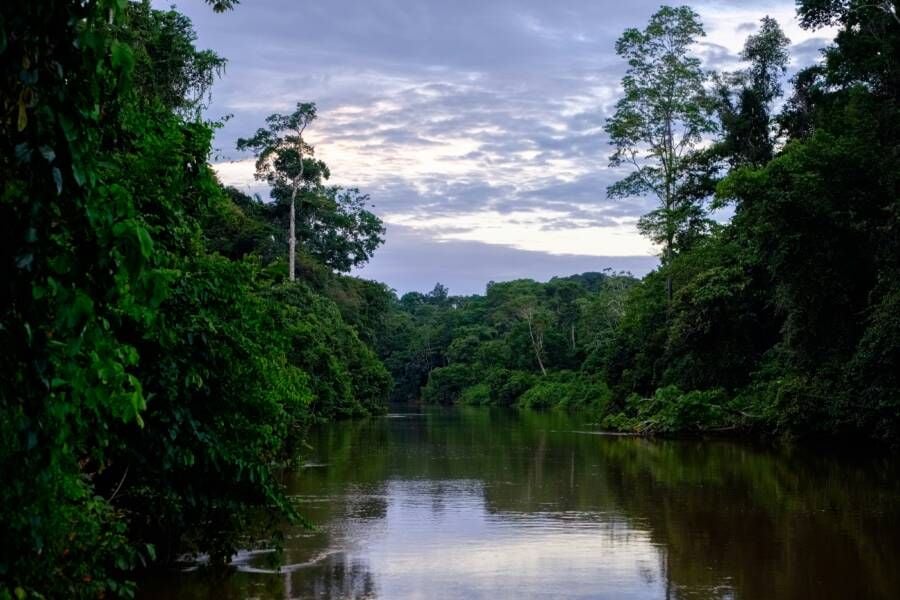
The stone blocks are gone. Someone pulled them out, long after the last resident left and the forest decided the rest belonged to it. What survived, invisible to anyone standing on the ground, was the shape of the streets themselves, a ghost grid now brought back by lasers fired from the air.
The find belongs to Amazônia Revelada, a project led by archaeologist Eduardo Neves, director of the Museum of Archaeology and Ethnology at the University of São Paulo. His team has been flying LiDAR (Light Detection and Ranging) over sections of the Brazilian Amazon, firing pulses through the canopy and timing their return to build a three-dimensional map of whatever lies beneath, tree cover included. Buried walls, collapsed roads, and abandoned towns show up as anomalies in the data, even when centuries of jungle have erased every visible trace above ground.
What turned up this time was an 18th-century Portuguese colonial settlement, its street layout intact enough to trace. It is not entirely a mystery: the town appears on colonial-era maps, though those documents never pinned down exactly where it stood. Neves suspects it was abandoned after 1822, when Dom Pedro I severed Brazil from Portuguese rule, and the settlement had no reason left to exist. 'It was abandoned, the forest took over, and the stone blocks were removed,' Neves told the Brazilian outlet Metrópoles. 'We were able to identify the layout of the streets of this city, which was also a fascinating discovery.'
The same survey turned up two further puzzles in Rondônia, a state on Brazil's border with Bolivia: a set of geometric earthworks that might once have been buildings, and a separate site scattered with ceramics. Similar geometric formations are known across the border in Bolivia, but Neves says this is the first time anyone has documented them on Brazilian soil. Nobody yet knows what they were for. Fields, dwellings, something else entirely: the team will not know until they dig.
That uncertainty is the honest state of the science. LiDAR does not hand archaeologists answers, it hands them coordinates worth walking to. Neves' team is now planning return trips to excavate all three sites by hand, the slow work that has to follow any discovery made from a plane. Amazônia Revelada builds on a wider run of LiDAR successes in the region, including a sprawling network of ancient cities recently mapped in Ecuador's Upano Valley, and it points to the same conclusion: the Amazon's canopy has been hiding far more history than anyone assumed, colonial and pre-colonial alike, and the technology to finally see it has only just caught up.