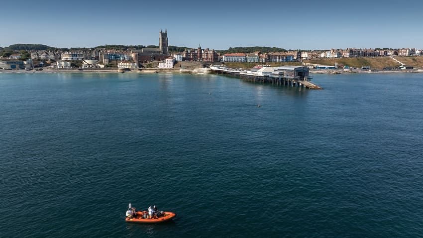
A wall seen underwater need not belong to a building. It could be part of a jetty or a structure built to hold back the sea. That caution guides the Friends of Cromer Museum’s Alfred Savin project as it records features on the seabed off the Norfolk coast.
Between June and August 2026, volunteer divers photographed and mapped 25 features around 400 metres from Cromer’s beaches. The project uses the broad term ‘features’ and distinguishes worked flint from flint in its natural state. It suggests possible interpretations for some of the finds; for others, there is not yet enough evidence.
The dives, coordinated by Nick Schiller, initially sought remains of the Victoria, a paddle steamer that struck the formation known as Church Rock in 1888. Bathymetric maps, which show the shape of the seabed, then pointed to other areas worth examining, extending the survey to traces associated with Shipden.
Shipden appears in the Domesday Book of 1086, which records two churches there. From the late nineteenth century, blocks and stretches of masonry visible at the lowest tides were associated with the tower of a submerged church. Local stories of a bell heard during storms strengthened that identification.
In the 1980s, other divers found three sections of flint-and-mortar masonry, regarded as possible evidence of a building near Church Rock. The current survey, however, has not identified any of the 25 features as part of a church.
Peter Stibbons, chair of the Friends of Cromer Museum, has noted that reconsidering the link between Church Rock and the church matters to a community that has grown up with the story.
Photographs, coordinates and observations are being added to the project’s records as the work continues. The 25 features provide a map of places to investigate further, not yet a reconstruction of the settlement’s layout.
- The Friends of Cromer Museum (Alfred Savin project)
- Time and Tide Museum, “The Story of Shipden”
- North Norfolk District Council, “Shipden—Norfolk’s Own Atlantis”
- Connaissance des Arts
- Alfred Savin Project – Cromer and Shipden from Documents
- BBC – Divers explore mysteries of Norfolk’s 14th-century lost town