‘All roads lead to Rome’ is an enduring image. But Itiner-e, a dataset reconstructing about 299,000 kilometres of Roman roads, shows a more complex network.
In a study published in Nature Communications, an international group of researchers analysed the reconstructed routes alongside topographical data and historical context. The map brings together archaeological and historical sources, cartography and remote-sensing data. Its routes have different levels of certainty, so not every road shown is supported by archaeological evidence to the same degree.
The analysis suggests that Rome remained a crucial hub, but the network did not simply radiate out from the capital. Provincial capitals tended to hold particularly central positions within their own territories, serving as important regional hubs. Byzantium, for example, emerges as one of the most central points in the land network as a whole.
The study, however, maps roads. Rivers and sea routes, which were especially important for long-distance travel, are not represented in the same way. This limits any direct comparison with the full Roman transport system.
The familiar image of Roman roads as perfectly straight lines also needs qualifying. Where the terrain allowed, builders favoured direct routes. But mountains, valleys, rivers and settlements helped shape their courses. The network took form in response to the landscapes it crossed.
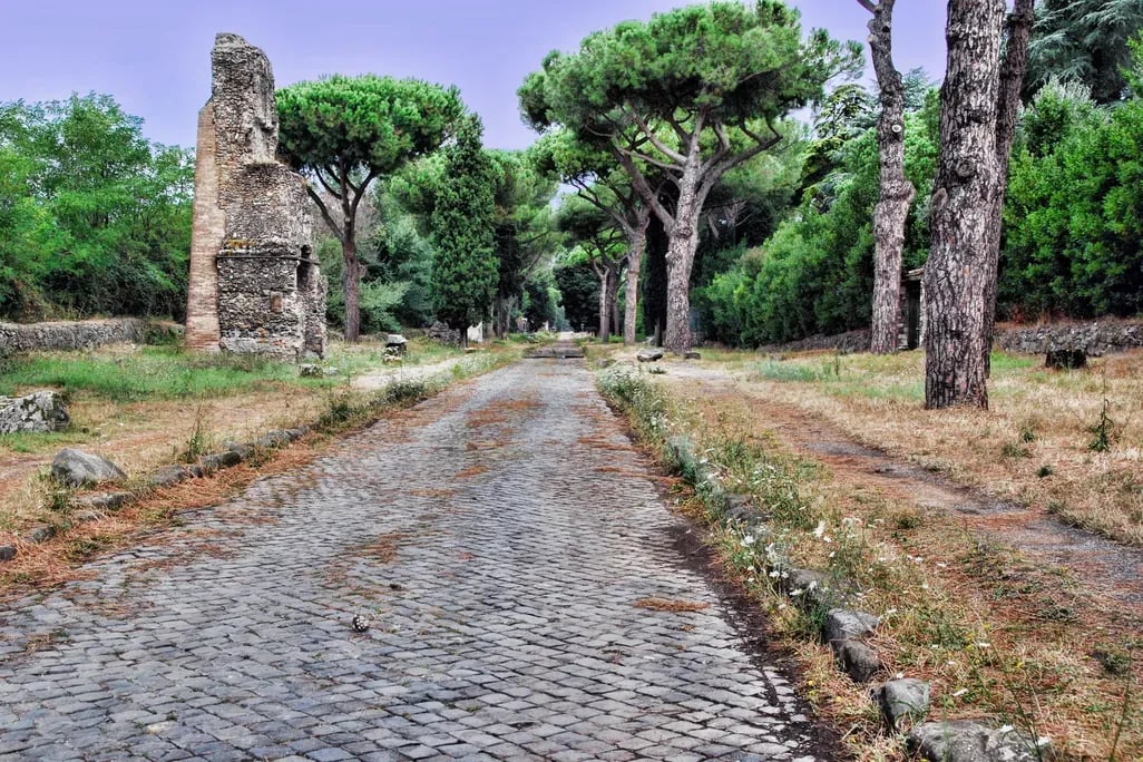
Nor was it built all at once. It developed over more than six centuries and incorporated routes that already existed. The Via Appia, between Rome and Capua and dated to 312 BC, is one of the oldest roads included in the dataset. In other cases, the Romans adapted and improved existing routes.
Some of these routes continued to influence travel in later centuries. In Spain, for example, the modern N-340 follows part of the route of the Via Augusta. The line is not an exact match, but it shows how ancient infrastructure can continue to shape choices about movement across a landscape.
The map offers an overview of the network, not a snapshot of the empire at one moment in its history. It shows an infrastructure built and altered over time, with Rome, provincial centres and the terrain all helping to determine where roads ran.